VECTOR // 01.EAST.EMOKWEME

EMOKWEME
ORBITAL CORRIDOR

High-velocity geospatial analysis of the Emokweme eastern zone, incorporating site feasibility mapping for the regional gas liquefaction plant. Integrating satellite telemetry, demographics, rich mineral deposit surveys—including high-purity lithium, cobalt, and heavy rare earth elements—and local cultural matrices to optimize sustainable resource extraction.

Emokweme Hero Visual
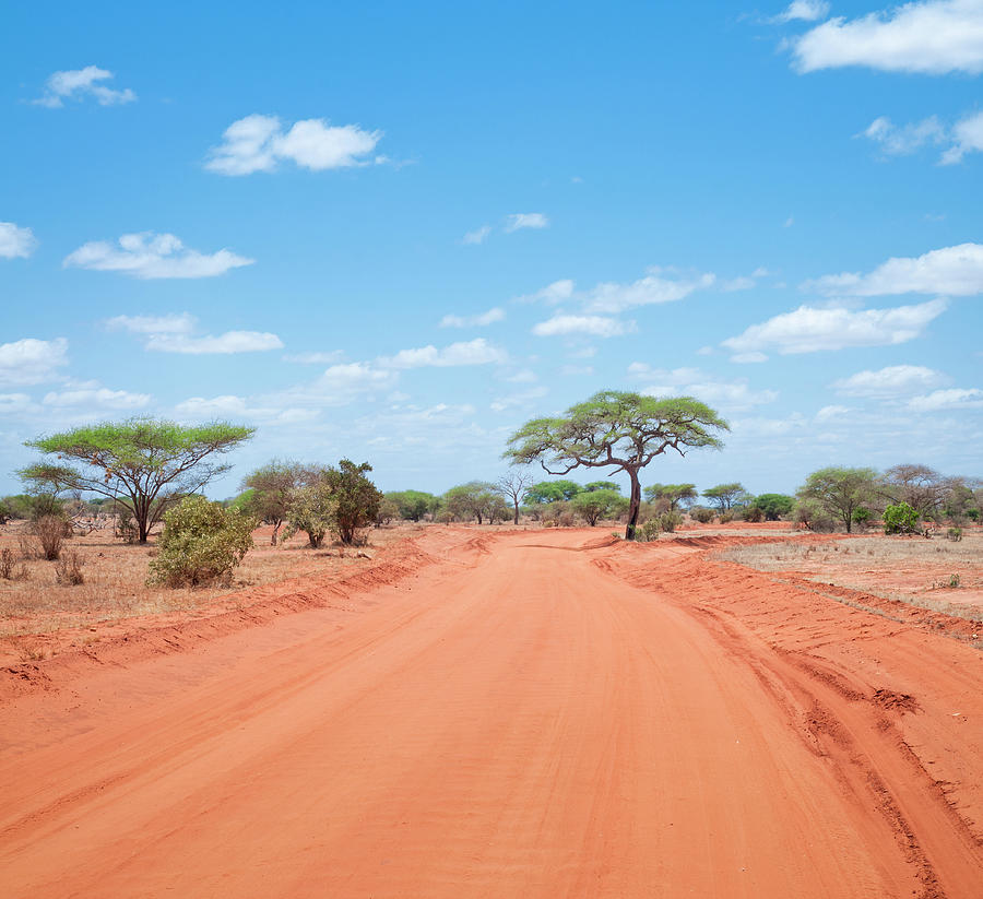
Emokweme Road System
INFRASTRUCTURE // TRANSIT AXIS

LOGISTICAL ARTERY

Primary vehicular transit corridor enabling high-throughput arterial movement through the eastern domain. Pavement density telemetry optimized for regional trade speed.

BIO-RESOURCES // MAIZE SECTOR

AGRONOMIC YIELD MATRIX

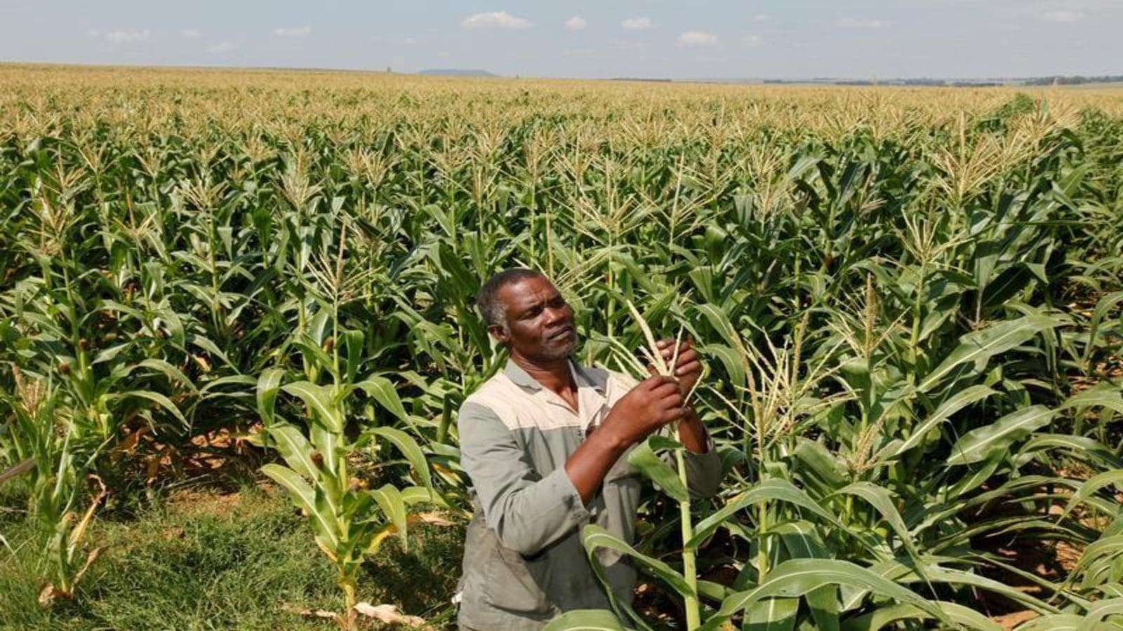
Satellite multispectral analysis of high-density maize farming zones. Chlorophyll indices confirm optimal soil nitrogen absorption and peak crop production.

Emokweme Corn Farming
Emokweme Trade and Artisan Network
COMMERCE // ARTISAN CRAFT MATRIX

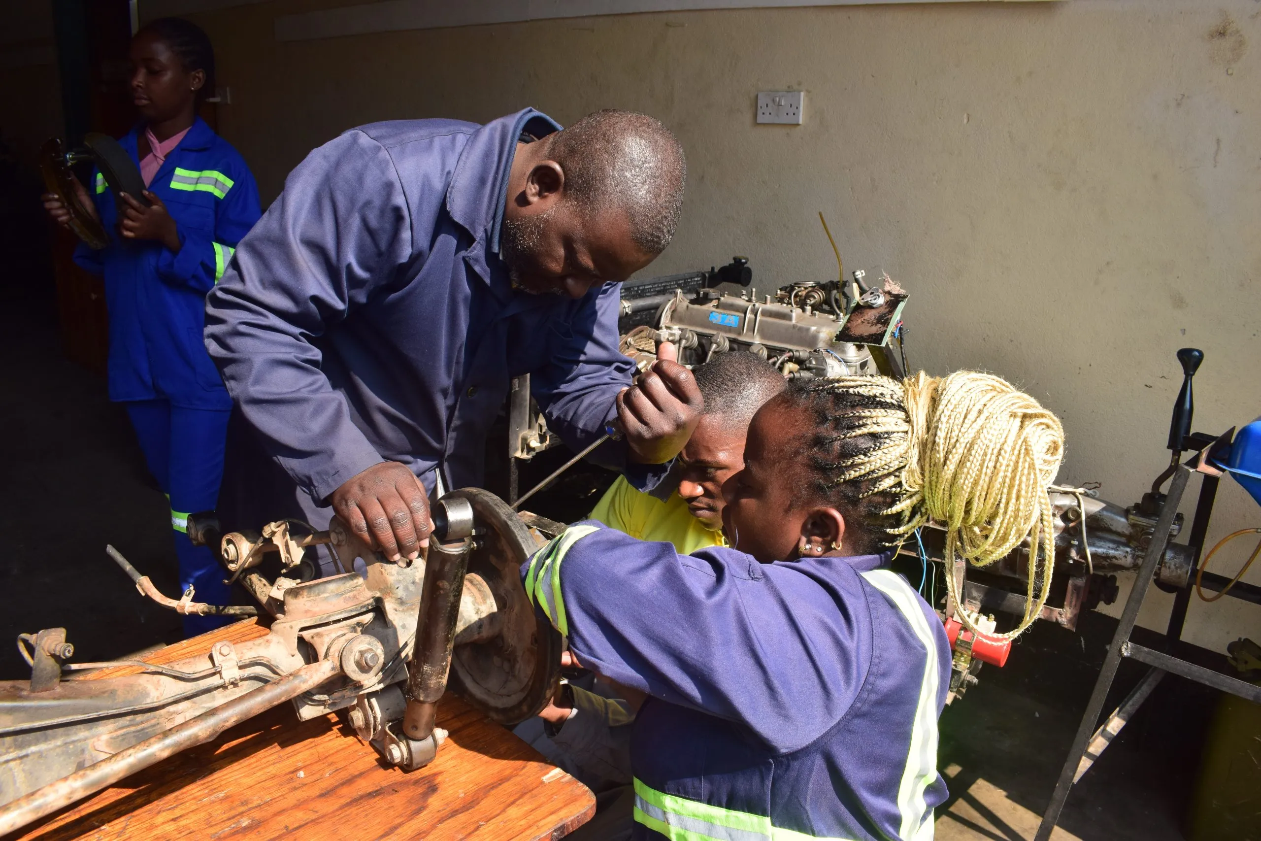
ARTISAN & TRADE VECTOR

Telemetry tracking of local artisanal output, skilled micro-craftsmanship, and regional exchange nodes. Mapping real-time commerce velocity and specialized craft labor across the sector.

ANTHROPOLOGY // SOCIAL STRUCTURE

CULTURAL KINSHIP

Human demographic study highlighting community hospitality vectors, linguistic heritage, and social cohesion values within Emokweme's population centers.

Emokweme Welcoming People
SYSTEMS // INTERACTIVE DATA EXPLORER

GEO-POPULATION DEMOGRAPHIC WIDGET

Select a sub-district to stream spatial telemetry, population statistics, and cultural profile data in real time.

GEO COORDINATES
6.432° N, 7.511° E
ELEVATION: 240M
POPULATION METRIC
48,290
DENSITY: 310 / KM²
CULTURAL MATRIX
IGBO / ETHNIC
LITERACY: 88.4% | KINSHIP: HIGH