Agenebode Sovereign Port Metropolis
A spatial, environmental and economic archive of Agenebode — a river-facing settlement whose geography, movement and cultural life are deeply connected to the Niger River.
The Niger River Is Not Background
For Agenebode, the Niger is a defining geographic system. It shapes movement, waterfront activity, settlement patterns, commerce, memory and the relationship between the town and surrounding communities.
This archive therefore treats the river as a primary spatial axis — a living corridor through which people, goods, stories and cultural practices have moved across generations.
NIGER
AXIS
River Niger
The primary geographic and cultural axisThe Niger River forms one of the most important spatial references for Agenebode. Its presence connects the settlement to movement, fishing, transportation, commerce and the wider riverine geography of the region.
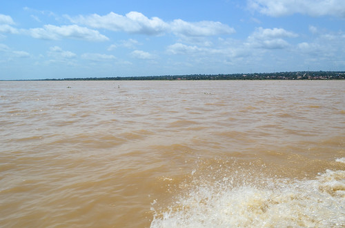
Riverfront Settlement
Where land meets the moving waterAgenebode's waterfront expresses the direct relationship between settlement and river. The shoreline becomes a space of observation, arrival, departure, exchange and everyday interaction.
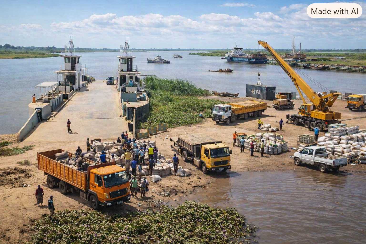
Port & Exchange
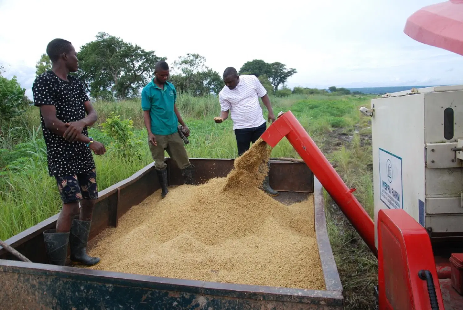
Movement of people, goods and regional connectionThe river creates an economic interface between Agenebode and other settlements connected through the Niger corridor. Boats, markets, movement and exchange become part of the spatial identity of the town.
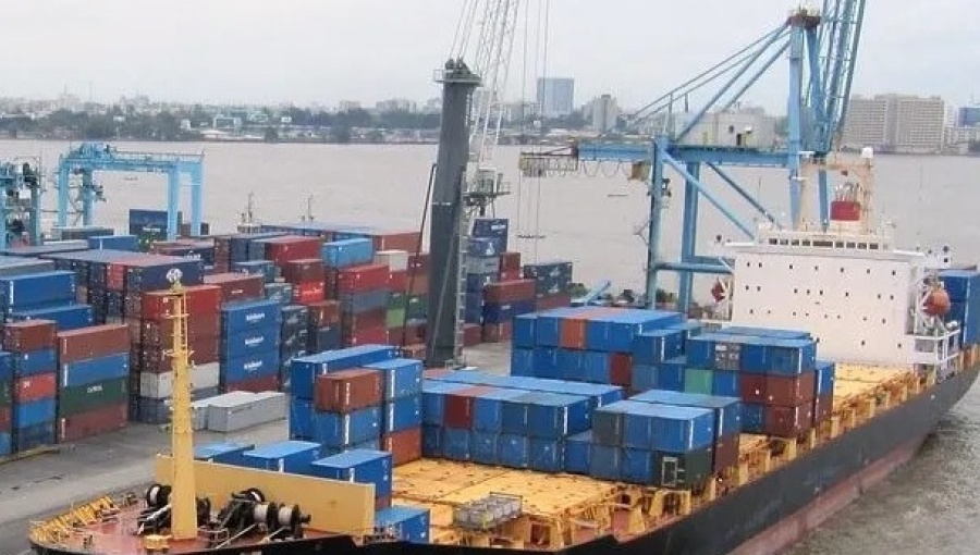
The Metropolis
Settlement structure around the river axisStreets, buildings, paths and public spaces form a layered settlement pattern. The urban fabric records how generations have adapted the built environment to geography, movement and community life.
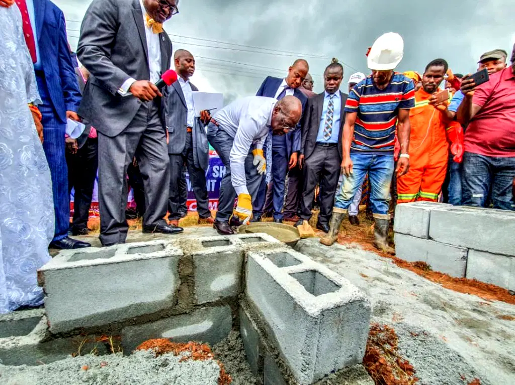
Living Heritage
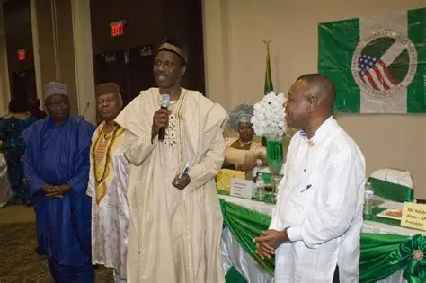
Culture embedded within placeAgenebode's identity extends beyond buildings and waterways. Language, music, ceremonies, food, attire, enterprise and collective memory form an interconnected cultural landscape carried through everyday life.
A Town Facing The River
Agenebode's relationship with the Niger is geographic, economic and cultural. The river is simultaneously a boundary, corridor, resource, route and memory system.
Movement Along Water
River mobility and human connectionWater changes the meaning of distance. Movement along the Niger links communities and creates another dimension of accessibility beyond the road network.

Land, Water & Horizon
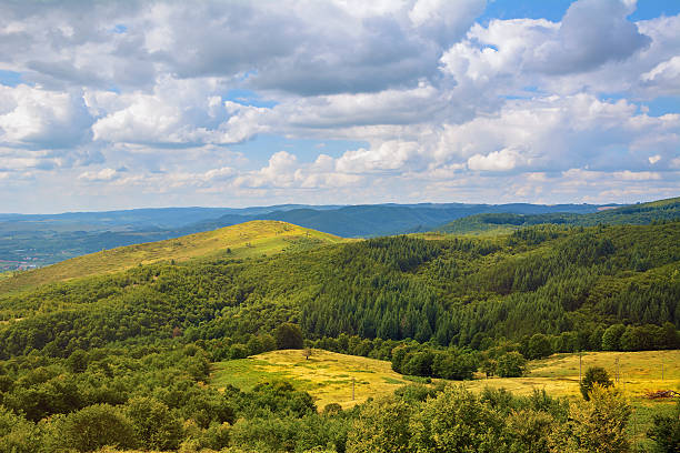
The environmental field surrounding AgenebodeThe physical landscape provides the larger spatial context within which the town exists. River, vegetation, settlement and horizon combine to form a continuously changing environmental system.
The River Remains The Constant
Buildings change. Roads change. Markets change. Generations change. The Niger continues to provide the great geographic reference around which Agenebode remembers, moves and develops.